Biomass Mapping Services
Equipped with the latest Trimble RTK equipment and GreenSeeker Biomass Sensors, the team at Environmental & Cropping Technologies Australia is proud to offer biomass mapping services throughout Western & Southern Australia.
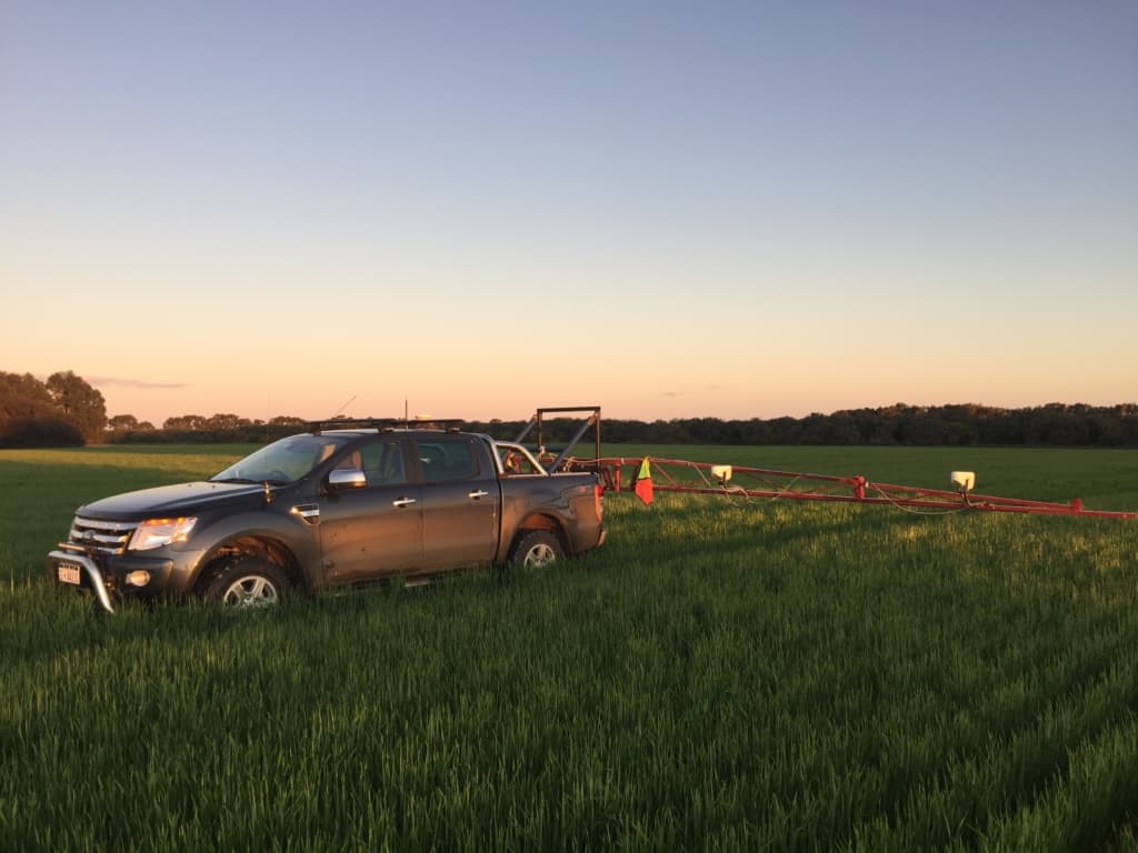
With 4 cameras fitted onto a ute mounted boom, our team can accurately map red-NDVI biomass levels in standing crops or pastures, providing you with a ready to use map that helps identify in-season variability and vigour, in-season treatment responses and regions to target tissue testing. Beyond this, GreenSeekers are the perfect tool to map and monitor potential stress, pest and disease impacts before physical symptoms show & yield penalties occur.
NDVI maps can be implemented into spraying & spreading Variable Rate Maps that are machine ready, or used in conjunction with yield maps to identify areas of potential weed burden.

How can I use my biomass data?
Variable Rate Mapping
GreenSeeker biomass maps are a great starting source for your variable rate projects. Compare field recordings against nitrogen rich strips, and you can help identify whether your crops need a top-up of fertiliser.
Scouting & Weed Mapping
By comparing your biomass maps against your yield maps, we can help identify areas where weeds may have out-competed your crops or sites that need further investigation to understand production constraints.
Insurance Purposes
Biomass imagery is a great tool to help identify, mark & quantify areas that have been affected by spray drift, & have been used in past insurance cases for calculating potential insurance payouts.
Crop Progress Management
Use biomass maps to help identify & quantify in-season variation between treatments in on-farm trials, or use imagery to identify areas that need different management.
