Elevation Data Processing Services
With our advanced GIS software, the team at Environmental & Cropping Technologies Australia can effectively process elevation data collected from either growers RTK or from our own mapping vehicle. Once data has been gridded, the possibilities are literally endless.
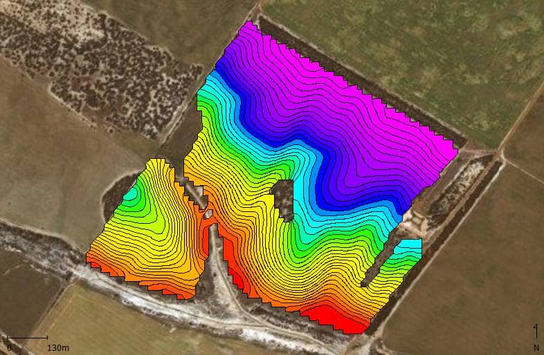
Our team can create elevation maps, contour maps, watershed maps, stream network maps, ponding maps, and help identify potential drainage options*.

Additional elevation processing services available includes:


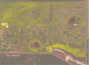
Water Ponding Maps
Water ponding maps are ideal for identifying regions where water pools. Used in conjunction with stream network maps and watersheds, the team at Environmental & Cropping Technologies can help you identify potential ponding points, and help design methods of minimising land-losses.
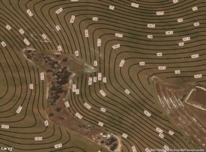
Contour Maps
Contour (or topographic) maps are great at identifying regions which share the same elevation levels.
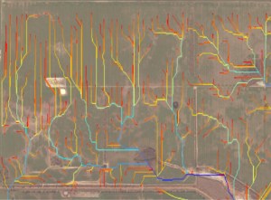
Stream Network Maps
Stream network maps serve multiple purposes. They are based off watershed maps, digital elevation maps and flow accumulation maps. Stream Network Maps identify common water-paths, and the flow levels (size) associated with each path.
Additional elevation processing services are available at your request. Please contact Philip on 0428 768 589 for more information.
We are proud to process our raw data 100% locally, and in-house... Can your precision ag services company do that?
* Drainage work & evaporation basin works may require approval from local & state government agencies. Environmental & Cropping Technologies Australia recommends seeking further advice from appropriate governmental agencies before proceeding with drainage works. We are more than happy to assist you with any supporting maps & documentation in your application requirements.
